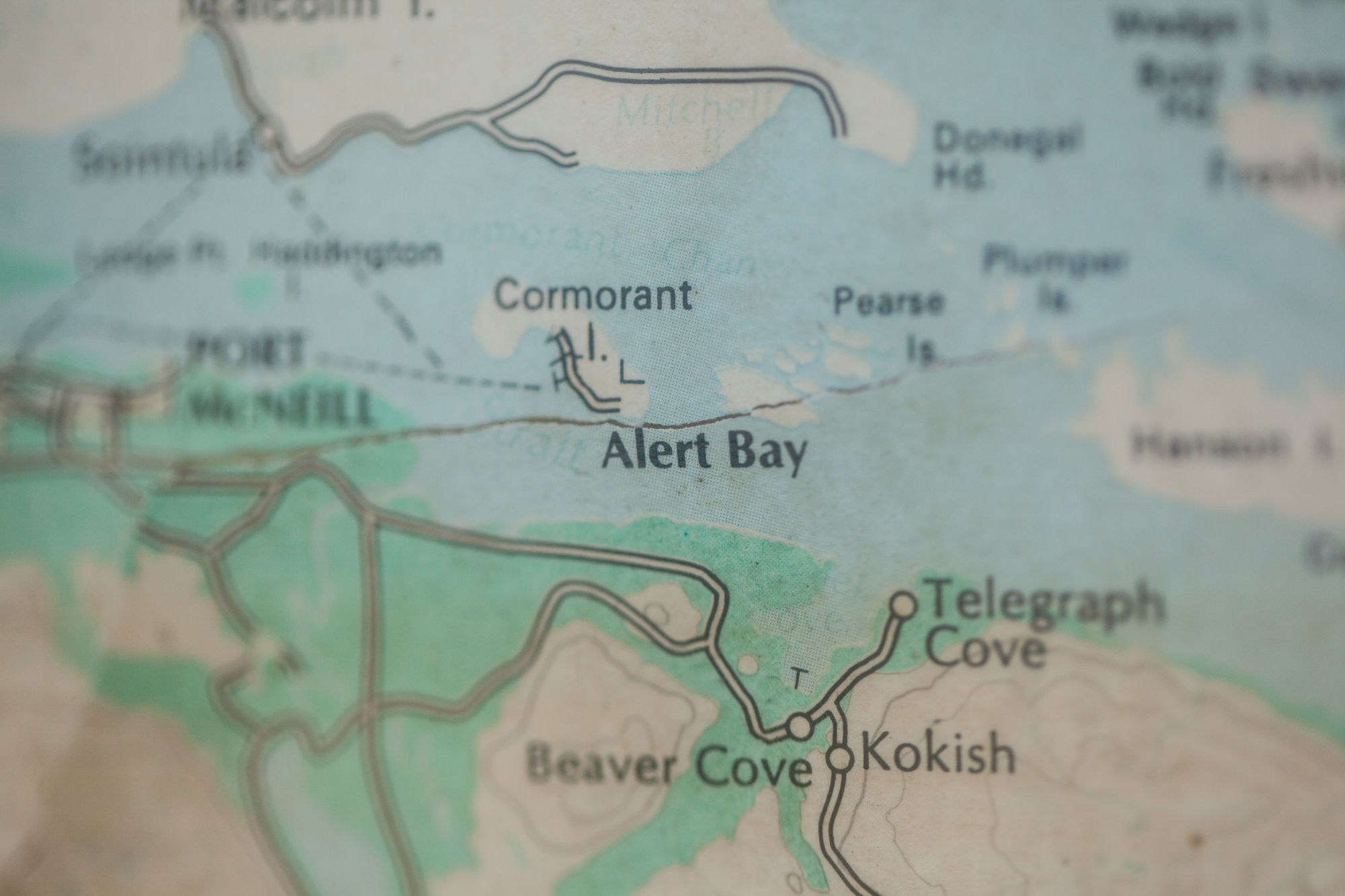
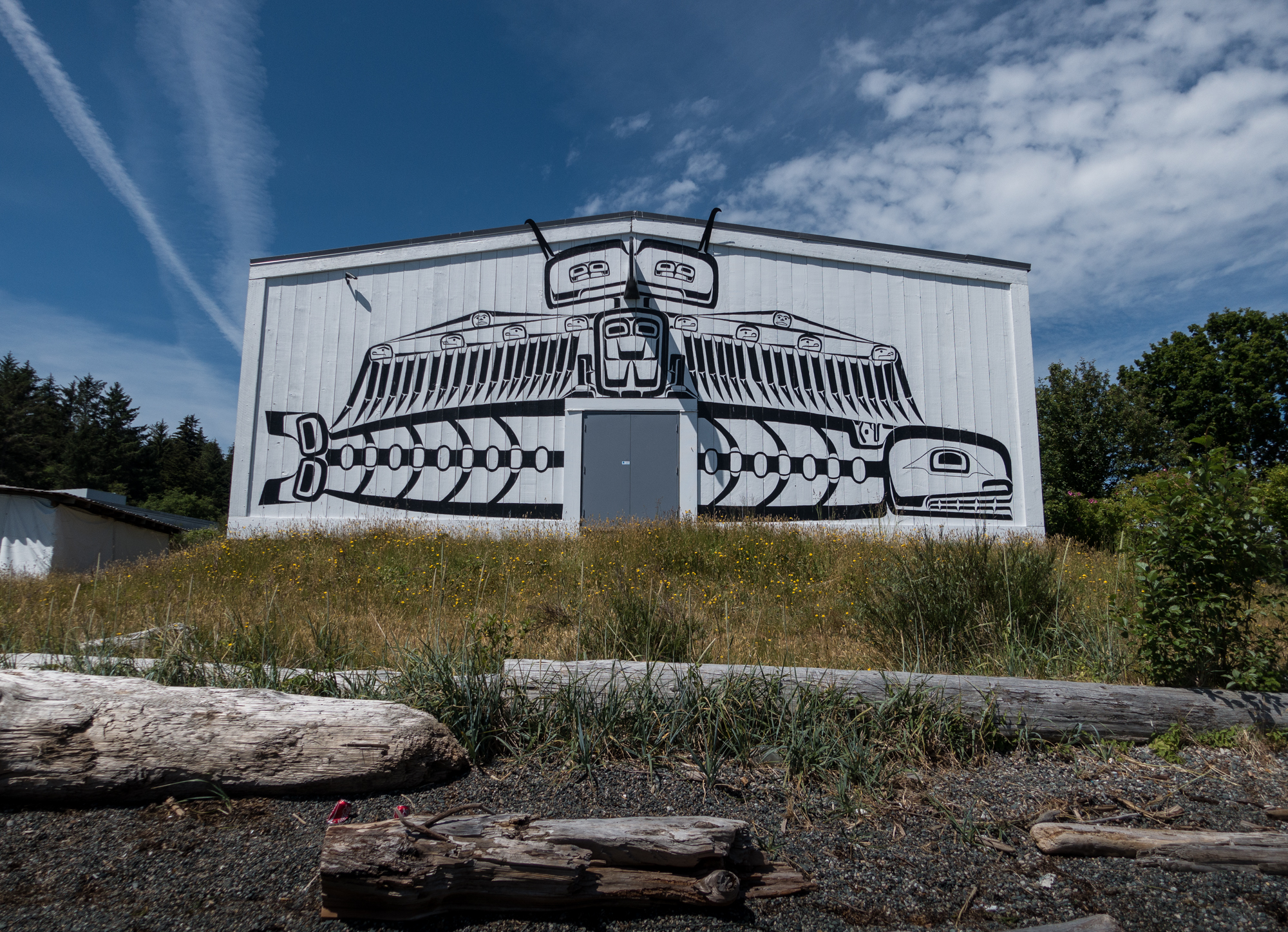
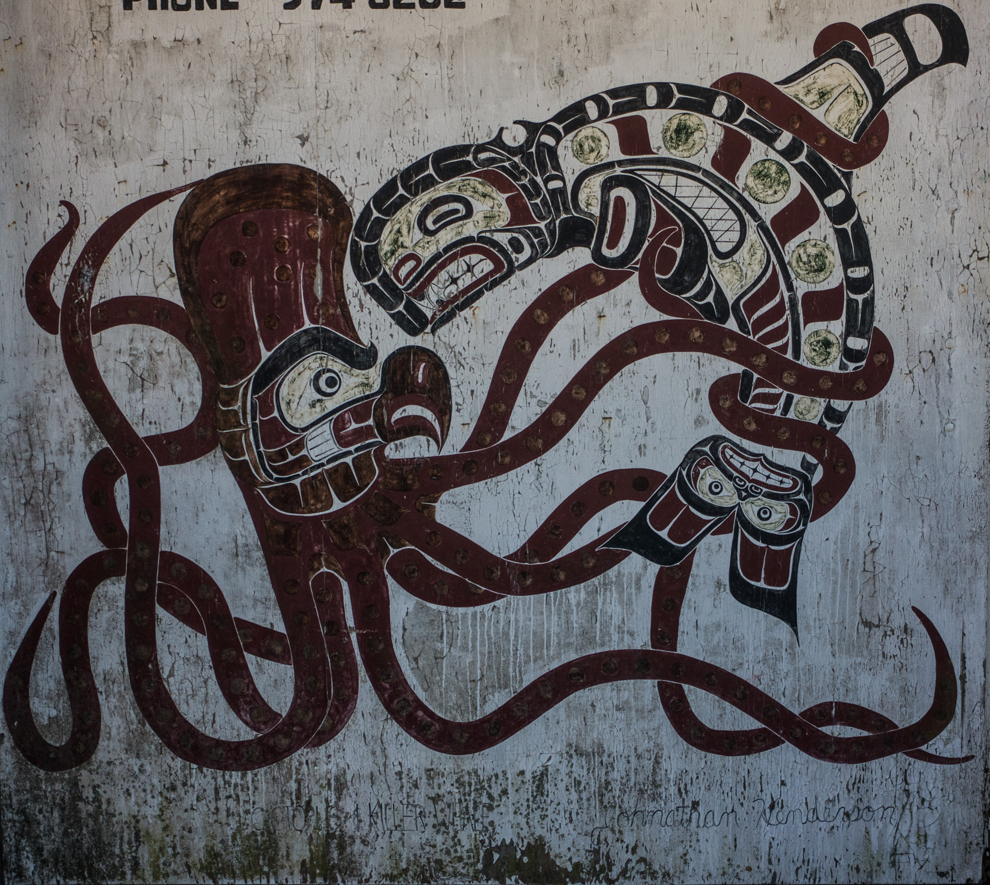
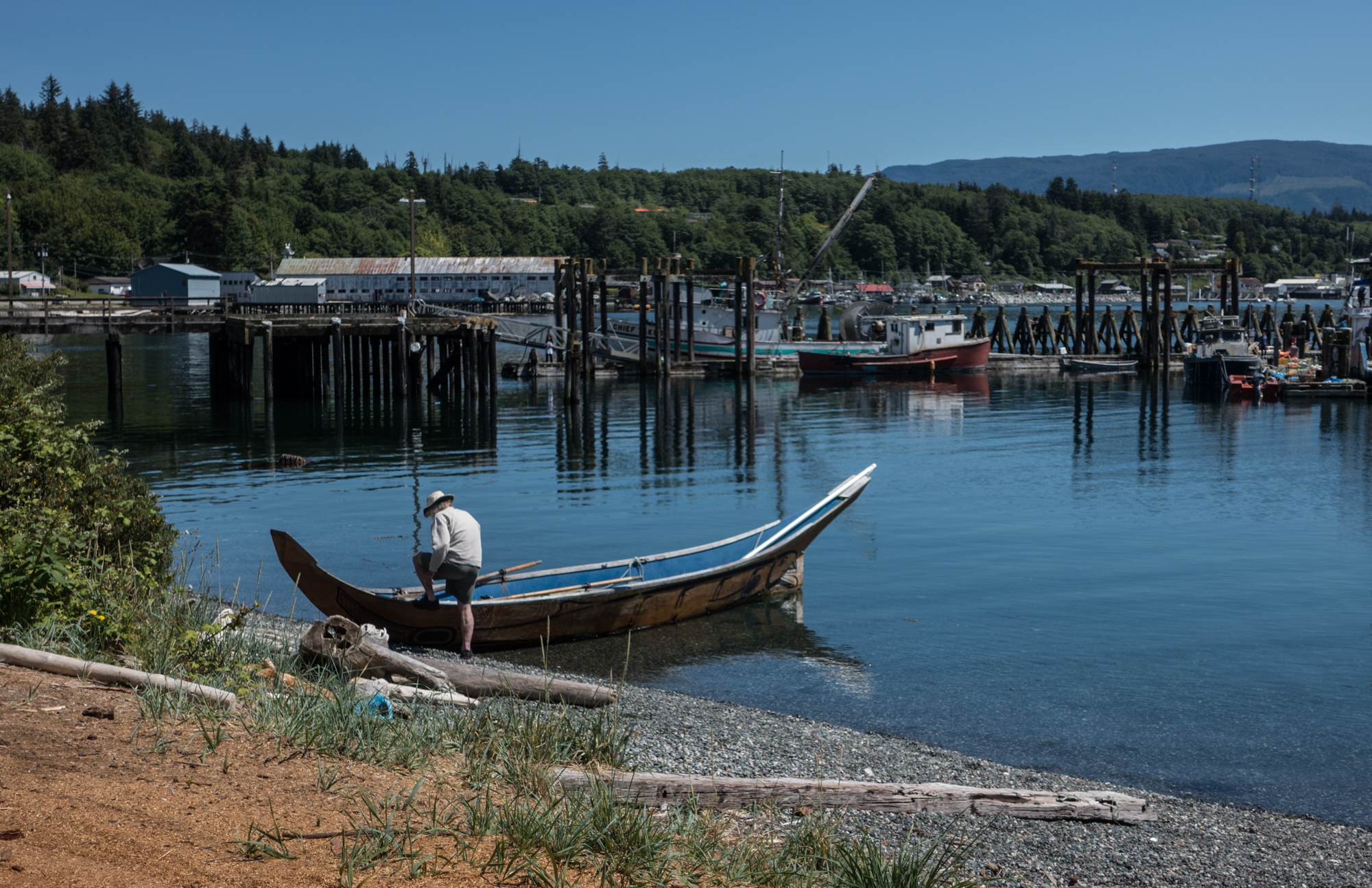
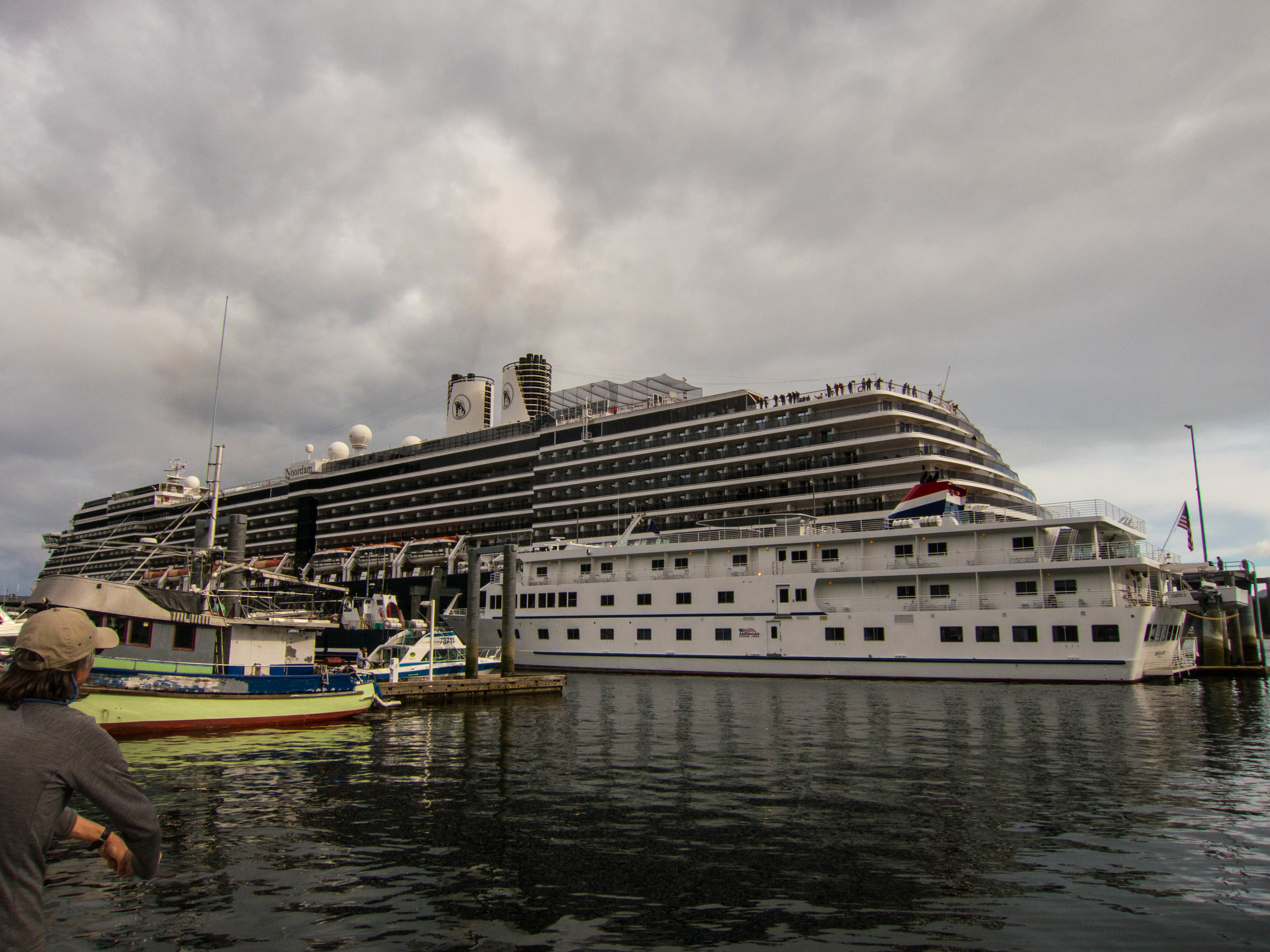
Port McNeill, BC
Douglas and I are in the marina at Port McNeill, it is flat-water calm and the sun has broken through the low hanging clouds for a evening blast of sunshine into the cabin. It’s 7:45pm as I write this and the sun is going strong, we’ve been having a fair amount of light past 10pm recently. Port McNeill has been the first place we’ve tied up to a marina since leaving Port Townsend on May 5th, and it is the first place we’ve been since Nanaimo where we could walk and really stretch our legs. There is something incredibly luxurious about being tied to a solid dock after a few weeks at anchor. We have water, power, the ability to hop off any time we choose and stroll up to the grocery store for fresh lettuce and a couple of lemons from California. And it is good to stretch those legs.
The trip north has been a good ride so far, we’ve had some excellent sailing, we’ve slowed down and picked our weather and haven’t felt rushed. We’ve had a few pods of Dall’s Porpoises swim with us, we’ve seen a few Orca pods and had them surface near Tumbleweed. A grizzly bear family walked the beach near one of our anchorages and we’ve seen numerous majestic eagles. We’ve also hit a couple equipment snags and done a couple repairs that stole a few days from our schedule but we’ve tried to keep a long term perspective and how these things fit into a bigger picture.
A big decision for us was to realize that trying to rush north to jump off to Haida Gwaii and then rushing south to explore the west coast of Vancouver Island was causing us to move too quickly, and think too often of using the motor to move along instead of picking our weather and sailing. We had a permit that started June 1, good for the month, and at the rate we are traveling wouldn’tbe able to arrive at Haida Gwaii until mid-June. We motored a lot last summer and one of the topics we return to was a desire to sail more this year. With weather and equipment issues setting us back a couple weeks we’ve realized that we’d be rushing to get to Haida Gwaii and we’d rather not go to the islands in that mind frame. So we are heading around to the west coast of the Vancouver Island earlier and will take more time to explore the west coast.
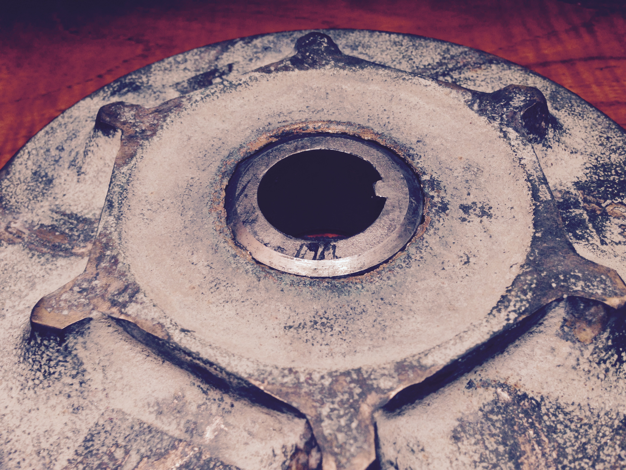
As we prepared to drop anchor in the bay in front of Port McNeill Douglas noticed something amiss with our windlass. The windlass is a motorized device used to haul the anchor and anchor chain up, ours is made by Lighthouse and solidly built, heavy duty stainless steel parts and massive cast bronze “gypsy” that grabs the chain as it hauls it in. There are few moving parts and those parts are all so robust that it is hard to imagine a piece breaking with normal use. Yet the cast bronze gypsy has done just that, sheared in half at the base where the two halves connect. Further investigation has revealed that at some point the windlass was serviced or assembled without a key bearing or spring and so the bronze part has worn over the years in that area until it is now paper thin and finally snapped like a stick to the achilles tendon of a giant. We went through the many now familiar stages of equipment failure aboard a yacht - Shock (WTF - this thing is cast bronze and massive stainless plate?!) Anger (good lord, again? We just replaced the water pump at the last port. How many casks of aged rum do we need to toss overboard to Neptune?!) Denial (I’m sure there is a super rational answer to this and these parts that are now freewheeling just need a quick shot of WD40 and a whack with a hammer) Resignation (Well, I’m sure it’s going to cost a fortune and take 9 days to get the part shipped here, let’s track down some interwebs and get cracking) Deep breath, positive outlook - this happened on a windless day, a few hundred yards from a marina, not on the west coast of Vancouver Island, or a few days ago when we were solidly set with 240 feet of chain out in heavy mud. Trying really hard to get to Deep Breath area as quick as possible, and with all the practice we’re having, that’s getting easier and easier.
As much as sailing, or really cruising under sail, is about sail trim, responding to weather, route planning, and enjoying the scenery, there is a lot of dealing with equipment and gear failure. The recent failures of our windlass gypsy and the water pump are two examples. The water pump was serviced over the winter, we replaced the parts with a set of spares we had on board, that looked great, but turned out to be 10 years old, it turns out rubber parts don’t age well and after so years the parts failed quickly. The windlass gypsy is another system that from an inspection short of pulling the whole thing apart wouldn’t reveal that the discs had wornpaper thinwhere they joined the axle. It is the nature of these vessels - so many complex systems in such rough environments.
Update on the gypsy: The folks at Lighthouse, who make the windlass, have shipped out the replacement parts. Hope to have them tomorrow and be off on Saturday, or we’ll see them on Monday. They were great to deal with, small company with solid customer service. Really appreciate that when we are out here trying to figure these things out. Also discovered an excellent machine shop - if you are out this way and have needs for machining - Micron Machine up on the hill behind Port McNeill is excellent. Super friendly owner and they are set up to do pretty much anything that can be imagined in the realm of working with metals. They do a lot of work for the timber industry, including pneumatic saws that hang from helicopters to top trees, as well as about anything for the fishing industry.
We’ll wrap up a few more details around Tumbleweed today, work on provisioning and get ready for the work on the windlass.
I am also starting to post our locations through Farkwar again. They have a widget that I was able to embed on the site - you’ll see a map of our locations if you use the “Locations” tab. If you’d like more details on the locations you can go to www.farkwar.com you can sign up to follow us and have our updates sent to you as we post them. This year I’ll try to be better with a quick note on the anchorages.
Below are a few journal entries from the trip so far.
Blubber Bay, Texada Island, BC
N 49º47.617 W 124º36.913
May 19, 2016
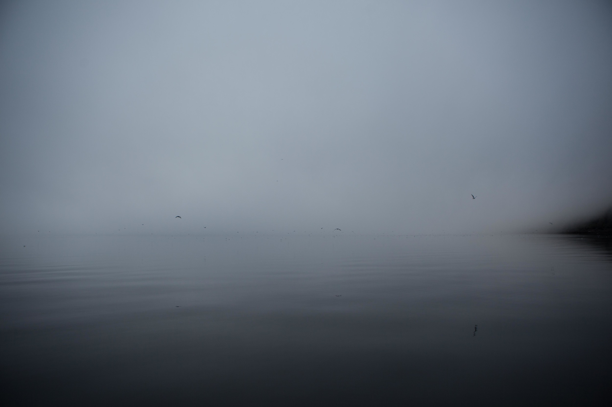
Good day on the water - got off to a civilized start around 10am. Leaving False Bay we had winds between 10 and 15 knots. All sails up we headed west for Vancouver Island under overcast skies with rolling 3 foot swells. We had a great ride for a couple of hours and then the wind started to ease itself out of the picture. Throughout the morning the winds settled and the seas calmed until a bit over lunch we changed up the game plan and switched over to the motor. A couple of hours after that we decided that Clam Bay was too distant of a destination for the night and set our sights on a more manageable Blubber Bay at that north tip of Texada Island. It is an odd spot - we anchored here last year on our trip north - it has a gravel mine at one side of the cove and a ferry dock for a large ferry that works between here and Powell River - but the remaining areas as wooded and the shores are empty except for birds. The view is similarly split - the view up to the northwest toward Campbell river is wide open and graced with a vast expanse of the Strait of Georgia, to the west are views of the hills on Vancouver Island, in the distance to the east are snow capped peaks on the BC mainland. But immediately to the east is the town and mill of Powell river, a sprawling mess of civilization running along the strait.
This morning we had two small guests in the cockpit, little songbirds that perched on the stern arch, glancing around constantly for larger birds that wanted them for breakfast. The held their wings out and puffed their chests, drying them I'd guess. We watched them from the companionway for several minutes, waiting for them to see us and take flight, but it took Douglas going above to rustle them to flight. They left us with a few melodic chirps and split for another part of the bay.
Tomorrow we intend to up anchor early and head to Campbell River. The currents around the town and the stretch of water to the west of it - Discovery Passage - are some of the most notorious in the area. At maximum flows the currents can reach up to 16 knots, staggering considering Tumbleweed tops out somewhere under 7 knots. We were in Campbell river last year and our memories are strong with our transit into and out of the marina there - the cross current just pulling through the break water was epic, we had the bow pointed diagonally to the entry as we muscled through under full throttle against the current. Our plan is to arrive at Campbell river at slack tide tomorrow to avoid such drama, and to head up through Discovery Passage at slack tide on Saturday morning. A couple of 5am call times for the crew of Tumbleweed, but at least tomorrow we'll be in a marina which means the luxury of use-as-much-as-we-want hot water and the fleshpots of Campbell river. Or as least as much as we can stand before conking at 9pm.
The skies have cleared and the air stilled, it is a lovely evening here.
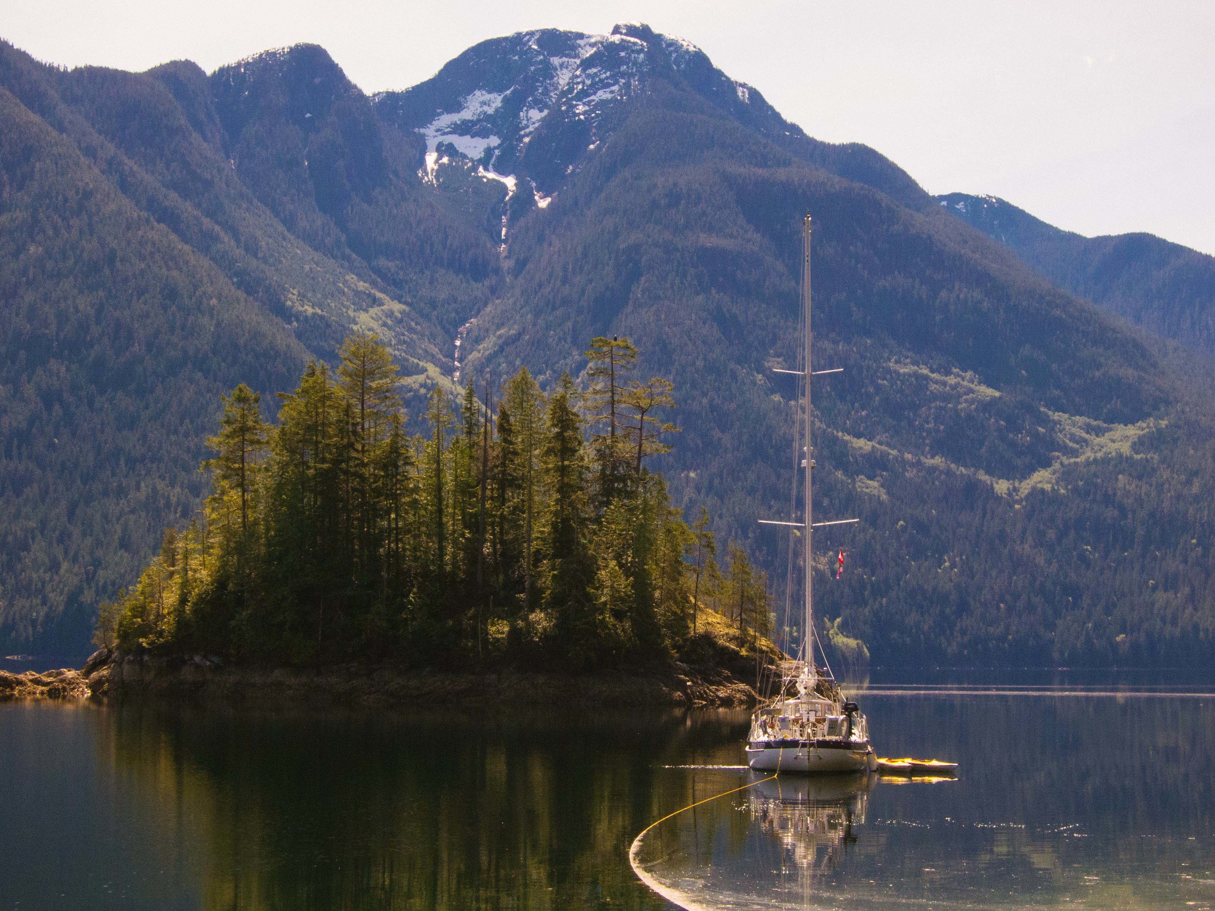
Douglas Bay, BC
N 50º28.965' W 125º44.985
May 21, 2016
The narrowest of channels that separate the waters of Queen Charlotte Strait and the waters of the Strait of Georgia act as time release vault doors between the areas around them. In these areas they are monsters of whirlpools, overflows, boat crushing volumes of water that boil most every hour of the day. The passkey through these narrow places is knowing when slack tide occurs - simple enough in this day and age. Today we hit a bonus trifecta-plus-plus of narrows - Yaculta, Gillard, Dent, Green Point, and Whirlpool rapids. We hit each one at near optimum time, lining ourselves up and watching as the waters began to subside before motoring through the waters like a couple Aladdins on a magical carpet.
Our morning didn't begin under an auspicious sign. As we pulled up anchor we were caught far short of the chain length and quickly realized that the chain had snagged on something deep underwater. Our anchorage was in a small bay used by a logging operation - they clear cut the area and haul the logs to the shore of the bay where they roll them down a ramp made from other trees, the logs are gathered together into a raft and a tug boat pulls them off to a sawmill where they are converted into toilet paper, plywood, maps of Ecuador, lumber pencils, Japanese lanterns, that sort of thing. The bay has been in use for a while and in addition to logs that float around until soaked with water until they sink to the bay's bottom, there are, I'm guessing, several Model T Fords, a tug boat, 8 refrigerators, and who knows what all strewn about the bottom. We tried powering forward, then in reverse. Not an inch of give. A few nights ago we had dinner with our friends Bob and Ann on Charisma and they told us how they dealt with having their chain snagged on coral columns in the south pacific - they maneuver over the top of the snag, drop extra chain to loosen the chain below and give them some swinging room and then slowly work in a clockwise manner around the snag and "unwind" the snag. If that didn't work, they'drun counter clockwise. We didn't need to drop extra chain but we tried working slowly, first counter clockwise, and after about 3/4 of a turn we felt a tug and then easing of the chain - we were free!
We motored out of Francis Bay with little wind but it picked up in Calm Channel, we were early for the timing through Yaculta Rapids and so hoisted our main and staysail, tacking lazily across the waters leading up to the rapids. We had a bit over an hour extra, the winds would build to 14 or so knots, then dwindle to 5, chain direction slightly, puff back up to 14. The sun was out, the waters calm, it was a beautiful morning.
Yaculta Rapids are actually three sets of rapids - Yaculta, Gillard, and Dent. Timing needs to be pretty keen for a sailboat that cruises at a little over 6 knots. The current can run several knots against (or with) and keeled boats are more susceptible to the eddies and whirls in the water, getting spun about. Of the three, Dent is the most feared section of water. There are photographs of overfalls of water three feet high, like a running wave of water that roils off into massive whirlpools. In one sequence a large fishing vessel had mistimed their transit and is seen rolling heavily side to side and swinging all around, barely making their way through. We fared much better, we rode through with the current in our favor - giving us a couple of extra knots of boat speed over ground.
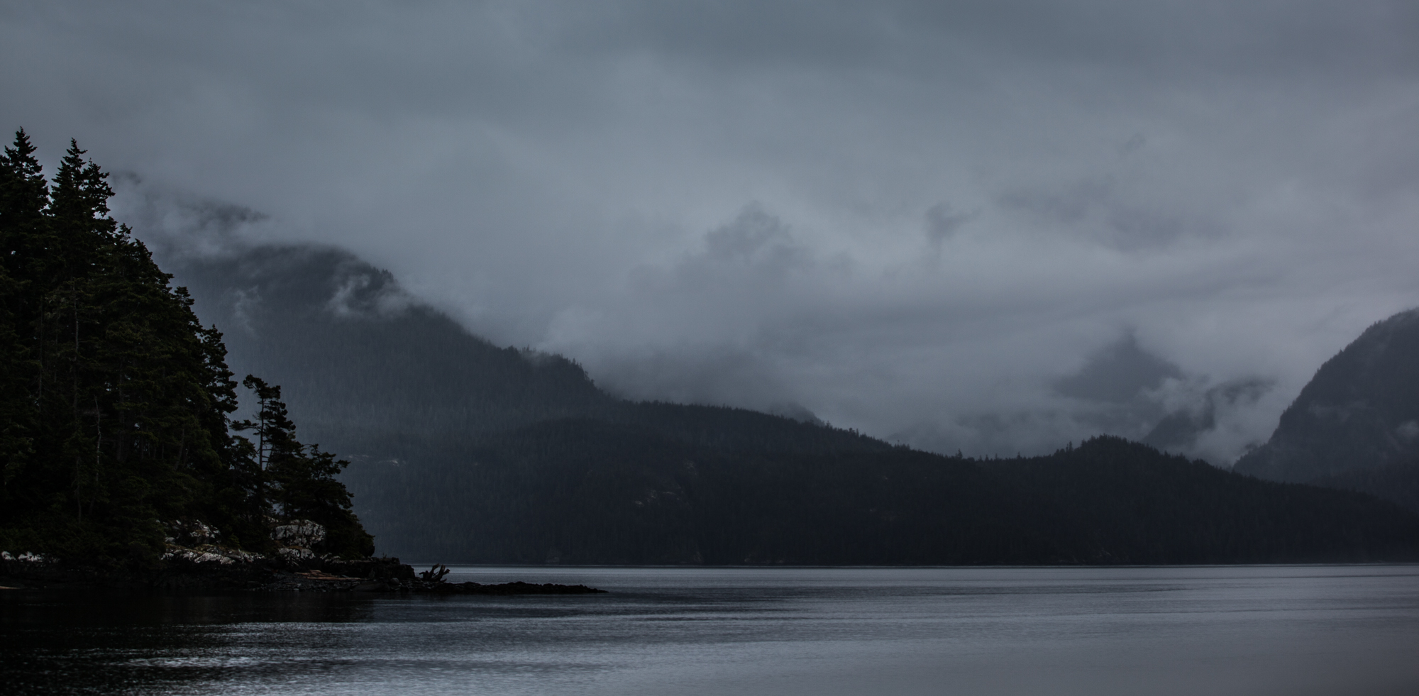
After passing through the rapids we motored up through the fjords of Cordera Channel. The winds dropped away, the waters were flat and the views up the various channels we passed were amazing. In mid afternoon we dropped anchor a couple of hours at Bickley Harbor to wait for the slack tide at Green Point rapids. Our timing was good for Green Point as well and we motored through the rapids without drama. This put us in good shape to transit Whirpool Rapids and anchor for the night at Douglas Bay - a nice spot tucked away just north of the rapids. We were at Douglas Bay last year and really like this spot - good motivation for traveling into the evening. Whirlpool rapids were a bit more exciting than the previous rapids - on the north side of the passage we encountered numerous small whirlpools and eddies, and the current was strong. It was running in our favor and for a few minutes we were traveling at 10 knots speed over ground. Although we hadn't seen very many boats all day there were 5 already at anchor when we arrived. We anchored in 70 feet of water to the north of the other clustered boats.
Quinoa with basil sauce, asparagus, oyster mushrooms, boxed wine and early bed. Still night, waters calm, a large Canadian Coast guard cutter anchor further up the fjord in Forward Harbor.
Blenkinsop Bay, BC
N50º29.212 W126º00.353
May 25, 2016
Short day, motored out Douglas bay at 11am. It was still and quiet, all the other boats had left. It is a lovely anchorage, with a nice sand beach, a good place to hang out if we weren't so focused on Haida Gwaii.
Out of Forward Bay and into Sunderland Channel we started to see steady winds over 10 knots, gusting into the teens. We hoisted the main and staysail and sailed with the set up as the winds continued to rise to the high teens, gusting to 21 knots. We had some great sailing in choppy seas, wind right on the nose, tacking our way up Sunderland toward Johnstone Strait. As we reached the west end of Sunderland and could see the chop out in Johnstone we tucked a reef into the main and watched as the wind started to hold steady in the low 20's with gusts into the mid-20's. Fun sailing for a couple of hours. In the early afternoon we realized that our goal of Boat Bay was colliding with the reality of our slow progress and the forecast for stronger winds later in the afternoon/early evening.
We had picked out Blenkinsop Bay as our back up and so as we came out of Sunderland Channel we worked out way up into Blenkinsop. It is a beautiful spot with views into Johnstone strait and of the mountains on Vancouver Island as well as on mainland BC. No other boats in sight at the moment. Shallow, mud with good holding, our favorite combination for a stormy night. We have put out 240 feet of chain and are solidly set. Forecast for tonight and tomorrow is pretty windy - up into the 30's. We'll most likely hang out here tomorrow as well.
Excitement of the day was spotting a Grizzly bear and her two cubs. The momma grizzly was massive. It was so cool to see them saunter down the beach turning over rocks and looking for snacks, rolling in the tall grass, enjoying the sun. We watched through binoculars for about 30 minutes until they wandered back into the forest. We are a thousand or so feet from shore so they couldn't see orhear us and the wind was blowing away from them, so they didn't know we were watching. Unless the eagle told them.
Otherwise we were getting ready for moving north tomorrow. We get a break in the weather and are ready move on.
We have realized that trying to make it to Haida Gwaii and travel down the west coast of Vancouver island in a way that let's us enjoy those places in the way we'd like to is just too much for the time we have available. We have been looking at how long it takes to get up north to Haida Gwaii andrealizing we'd have to start motoring a lot and making long days for the next week or two to make the jump across Queen Charlotte Sound. We have sadly decided to put off going to Haida Gwaii to another time when we can enjoy it and not rush. But we are really excited to get to focus on the west coast of Vancouver island.
Our plan tomorrow is go head north toward Port McNeill. If the weather is good and we are making good time we'll head up all the way, we are also looking at Boat Bay which is across from Robson Bight, I think I wrote to you that it is famous for being a place that Orcas come up on the beach and scrape barnacles off their bellies. We anchored there last year and it is a pretty nice spot. There is a nice beach and the island has all sorts of little camp sites set up for observers who spend the summer there counting whales. A nice place to walk around and get a view across Johnstone Strait. Last year we didn't see any whales, but maybe this year!
Boat Bay, West Cracroft Island, BC
50º31.398'N -126º33.681'W
May 25, 2016
Exciting day on the water. After sitting in Blenkinsop Bay for 5 days while a wave of gales passed us by, it was nice to be on the water and under sail. We have been wanting to test our new storm sails - a trys'l and storm stays'l - that Hasse and company made for us. We prepped everything yesterday and then tested them out today, running them up, adjusting lines, taking notes on what to work on, notes on how we set everything up so that in a storm situation we'll be more efficient.
The sails are excellent, really well made, and it was nice to see them working. Still have a few things to work out before they are perfect but much better to sort this out and practice in a few knots of wind than out in a storm. After a week of gales the winds were pretty calm out in Johnstone Strait today - we didn't see much over 10 knots and mostly closer to 8. Still, it was odd that we were one of the only boats actually sailing - we saw one other boat all day that had sails up, everyone else was motoring - much like our trip through here last year.
Boat Bay is a nice anchorage, especially in calm weather. It opens up to the south and has a many miles long view down the strait. We have been watching tugs, barges, fishing boats and a cruise ship since anchoring. This site is across the strait from Robson Bight, ecological reserve, where Orcas like to run up on the beach and scrape barnacles off their bellies. Later in the summer researchers and grad students will be here in Boat Bay looking across the strait to count and track orca pods. Last year we walked around all their empty campsites left over from the previous year.
As we finished anchoring and were putting Tumbleweed to bed, a spry gent in his 60's rowed up in a gorgeous rowboat. He was rowing from Victoria to Ketchikan. The boat pretty tidy, very little gear that was visible. He mentioned that he grew up in Campbell river and was a guide in these areas at one point. The boat's name was "Rippingale" after a teacher who told them a story about how he had rowed to Alaska. Recently the man called the teacher and told him that he was so inspired by that story he told them in the 6th grad that he was now rowing to Alaska himself. The teacher laughed and told him that he had made the story up and had never actually rowed up here. Nonetheless, he’s rowing for Ketchikan and making good time. He said it took him a stunning 4 days from Victoria to Campbell River, I may have misheard him. That’s a good clip. He set up the boat so that he can rest it on the beach for sleeping, with a little tent over it, cushioned with floats. When the tide comes in he floats up and is ready to start rowing for the day.
Saw a whale spouting as we motored out of the anchorage this morning, and another whale surfacing very near the mouth of Boat Bay as we were dropping our sails. The cove is somewhat open to Johnstone Strait and I wouldn’t want to be here in a southerly, the long beautiful views down the strait would bring massive swell and fetch in a blow. But on a quiet night it is a beautiful spot, the small island that buffers the cove from the strait is densely wooded with wind gnarled trees, and large logs have been wedged into the rocks above the high water line. To the north is a nice landing beach and there are paths through the forest to the observation platforms for counting whales.